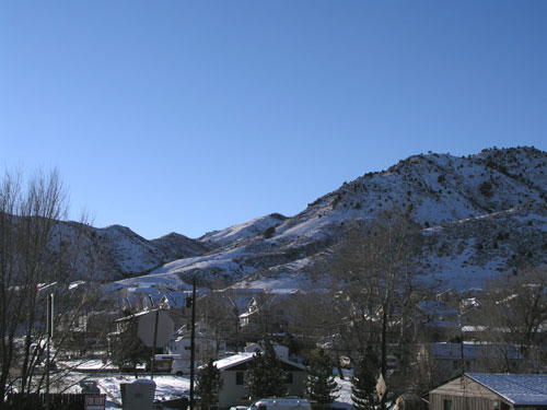
We had our first snow of 2004 yesterday, so I went for a walk around the neighborhood to take some pictures.
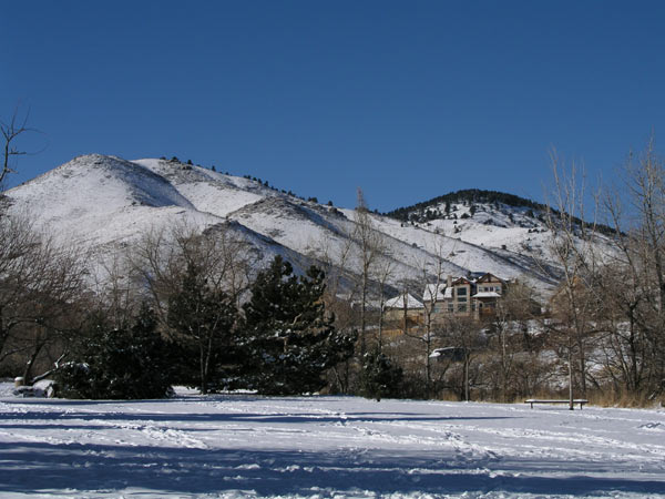
Here's a view of the foothills from the park just north of our house:

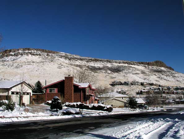
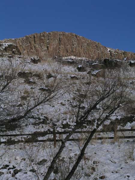
Turning around, here's a view of North Table Mountain.
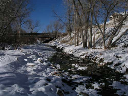
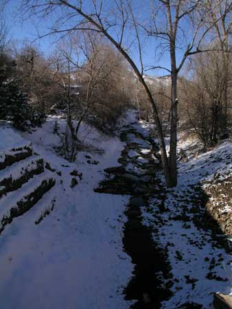
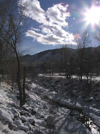
The following are some pictures from the Open Space Park path that follows a gulch into Golden. The stream that
runs through that Gulch eventually meets up with Clear Creek.
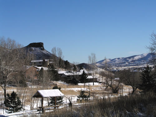
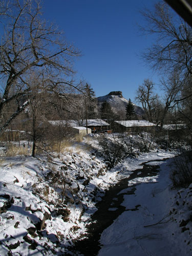

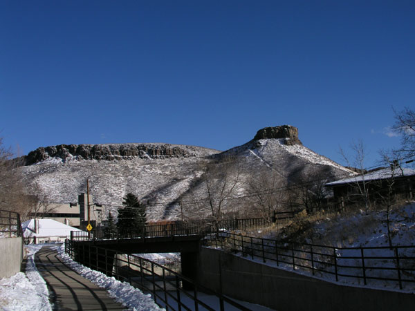
Castle Rock and South Table Mountain
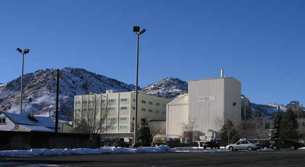
This is a picture of Coors Tek, taken from 10th Street. Hopefully, in a couple of years, Mike will be able to get an
internship at a place like that or NIST.
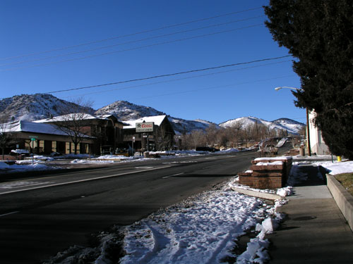
This is a picture of the re-designed entrance to downtown Golden - but it still has the familiar sign!
(It reads "Howdy Folks! Welcome to Golden - Where The West Lives")

Looking the other way - north on Washington Avenue
North Table Mountain, as seen from the entrance to Highway 58
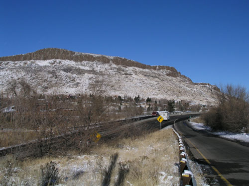
The foothills, as seen from the northern end of Washington Avenue
